Comprehensive data archive
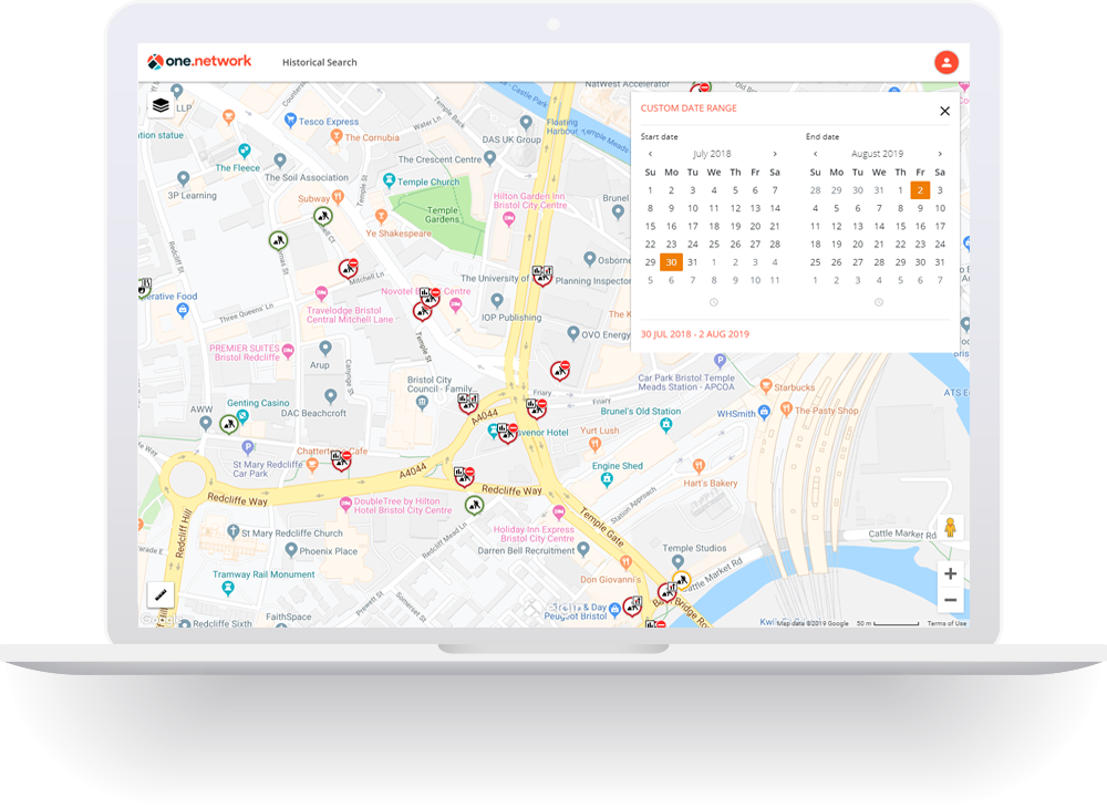
Information about past roadworks and traffic management interventions is accessible via the Causeway one.network Historical Map. Users are able to call up details about any roadworks that occurred on any street going back 10 years, or visualise works across a region over a number of weeks or months.
This rich and unique data archive is easy to use – simply set a date range in the past and the Causeway one.network map will display all works and, where available*, events, incidents, closures and other traffic management interventions that took place during that period.
*availability of non-roadworks data via the Historical Map is dependent on use of Traffic Management Module in any given area.
Use cases
- Satisfy liability claims relating to past roadworks.
- Retrieve basic information to support reinstatement failure claims.
- Analysis of historic works and traffic management for future traffic management planning.
If you would like to know more about how the one.network Historical Map can be used within your organisation please contact us.
MORE INFORMATION


Related modules

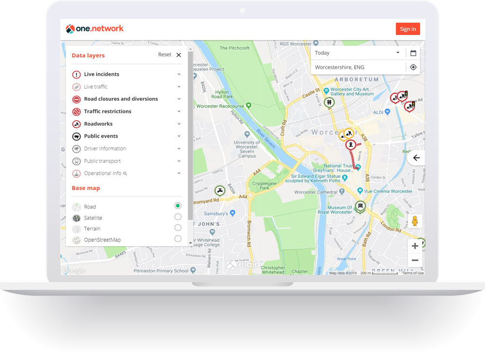
one.network Map
The definitive UK-wide map of roadworks and traffic disruptions.

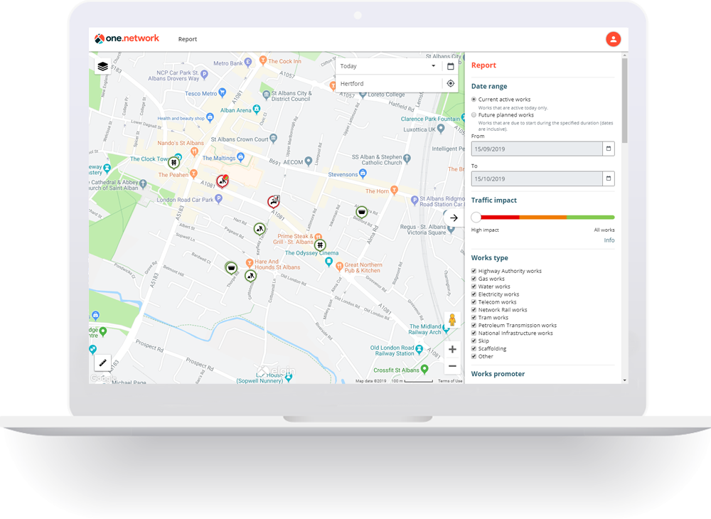
Reports
Output data from the one.network traffic disruption database.