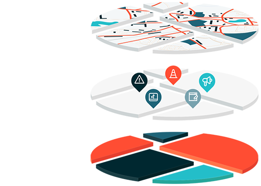
Mapping intelligence
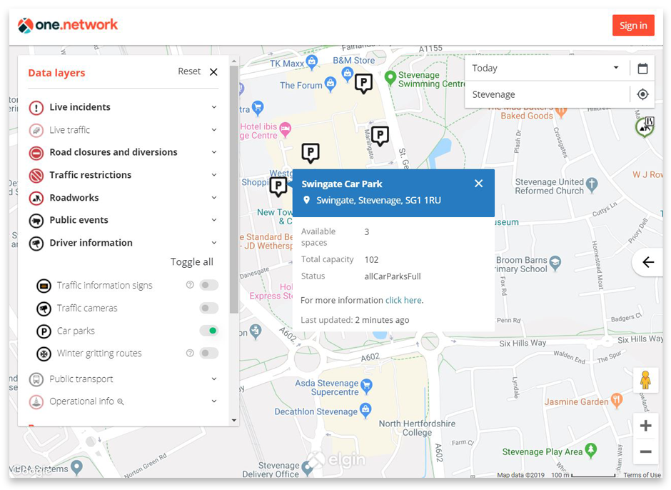
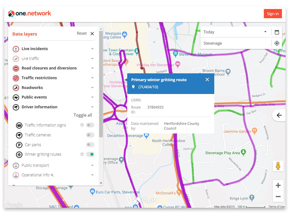
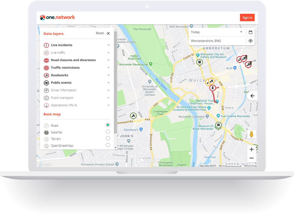
Causeway one.network Map is the foundation of our platform and we offer a range of configuration options to optimise it for use by our customers. Live feeds such as traffic cameras and real-time parking availability, public transport and over 30 additional data layers can be added to the map.
The below map data layers can be integrated to support use cases as diverse as traffic control centre operations, event management and roadworks planning.
Real-time data integrations
- CCTV traffic cameras
- Variable message signs
- Live parking availability
- Live incidents feeds
- Google live traffic
- TomTom live traffic and incidents
- Waze live incidents
Standard map layers
- Roadworks
- Road closures and diversions
- Other traffic management interventions
- Public events
- Winter gritting routes
- Bus stops
- Bus routes
- Train/tram stations
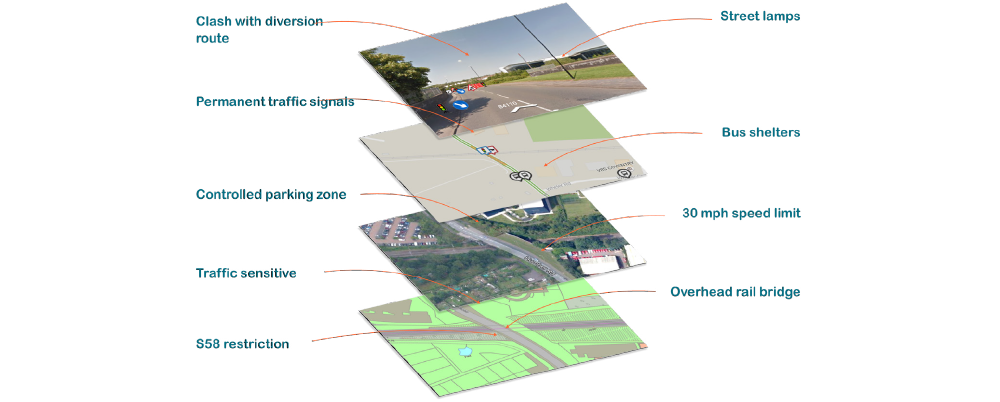
Operational map layers
- Forward planning roadworks data
- Highway & District Authority boundaries
- Bridges & structures
- Permanent traffic signals
- Section 58 restrictions
- Lane rental scheme network
- National Street Gazetteer
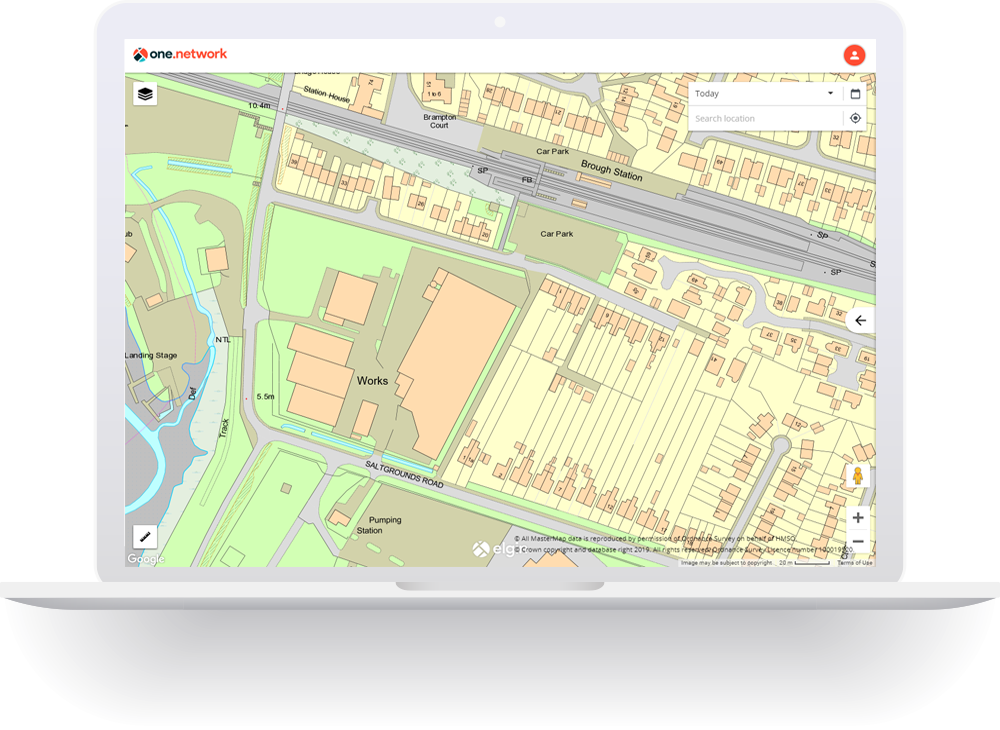
- OS MasterMap
- Speed limits
- Schools
- Fire stations
- Hospitals
- Water Courses / River Flows
- SSSIs
- Weather data
Custom map layers
We are able to accommodate custom datasets within the map as well. In future we aim to introduce a self-service Data Upload module enabling customers to upload and manage their own datasets within one.network.
If you would like to know more about how one.network map layers and integrations can be used within your organisation please contact us.
MORE INFORMATION


Related modules

one.network Map
The definitive UK-wide map of roadworks and traffic disruptions.
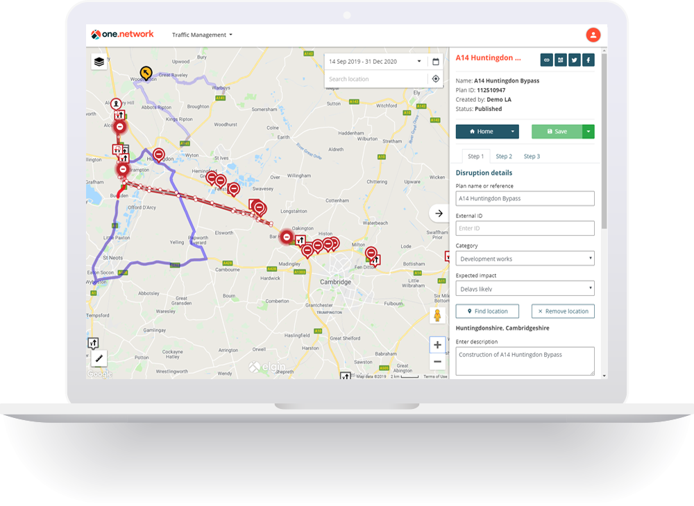
Traffic Management
Market leading traffic management planning and communication tool.
Works Planning
Map based planning tool to reduce aborted works and other planning failures.